Department of Geology & Geography
Opportunities
UNCP offers pathways that connect your curiosity about the world with practical skills to solve real‑world problems. Whether you're drawn to the hands‑on innovation of our Geoscience and Engineering 3+2 Dual Degree Program or the cutting‑edge mapping and analysis in GIS and Geospatial Technologies, you'll find programs designed to broaden your expertise and open doors to impactful careers.

3+2 Dual-Degree Program
Looking for a career that fuses your passion for the environment with cutting-edge engineering solutions? The Dual-Degree Program in Geoscience and Engineering at UNC Pembroke provides the best of both worlds at an incredible value: a powerful interdisciplinary education that prepares you for real-world challenges — from climate change and natural disasters to sustainable infrastructure and energy.
You'll start with geoscience at UNCP for three years, then attend NC State for two years, finishing with both a BS in Geo-Environmental Studies from UNCP and a BS from NCSU in either Civil or Envirionmental Engineering. Get mentorship and guidance at every step — then graduate with two powerful degrees and a competitive edge.
What You'll Gain:
- Hands-on fieldwork in geology, hydrology, GIS, and environmental science
- Rigorous engineering training from one of the top engineering schools in the nation
- A professional network at two respected universities
- A career-ready foundation for jobs in environmental consulting, civil engineering, water resources, geotechnical engineering, and more.
Geospatial Technologies & Geographic Information Systems
Turn your interest in geography and technology into a high‑impact career. UNCP's Geospatial Technologies Certificate and Geographic Information Systems (GIS) coursework give you hands‑on experience with industry‑standard software, drones (sUAS), and other cutting‑edge tools.
- Learn from experts in small classes with personalized mentoring.
- Build real‑world skills through labs, fieldwork, and drone operations.
- Stand out to employers with projects that showcase your ability to solve complex spatial challenges.
Our programs prepare you for careers in environmental science, urban planning, public safety, logistics, and more—fields where GIS skills are in high demand.
Ready to put your future on the map? Start your GIS journey at UNCP!
Student Awards & Recognitions
Students in the Geology and Geography program have access to two scholarships and a national honors society tailored especially for them.
Created by Professor Emeritus Thomas Ross, this annual spring award celebrates outstanding students who bring geography to life—whether pursuing the Geography track within the Geo‑Environmental Studies major, earning a Geography minor, or proudly representing UNCP in the World Geography Bowl. It's more than a scholarship; it's a recognition of passion, curiosity, and a commitment to exploring our world.
The David K. Kuo Memorial Scholarship honors the incredible legacy of two beloved UNCP professors, Dr. David K. Kuo (Biology) and Dr. Elizabeth H. Kuo (Geography), who together dedicated nearly six decades to inspiring and shaping generations of students.
Established by the Kuo family and their friends, this scholarship celebrates their passion for learning and their deep impact on the university community.
Each year, the scholarship supports one full‑time undergraduate student in Biology and one in Geo‑Environmental studies. Financial need is not a requirement.The award offers valuable support to students eager to pursue their academic and career goals.
Gamma Theta Upsilon (GTU), Nu Gamma Chapter at UNCP, offers high‑achieving Geography students a nationally recognized honor and a wealth of opportunities.
Membership in this prestigious international honor society signals academic excellence—reserved for students who rank among the top in their class and maintain a strong GPA in geography coursework.
At UNCP, Nu Gamma members join a community that values exploration, research, and service, while gaining access to national GTU scholarships, eligibility to publish in The Geographical Bulletin, and opportunities to participate in special programs.
Beyond the credentials on your résumé, Nu Gamma membership connects you to a network of geographers and opens doors to leadership, professional development, and events that celebrate and advance the field.
Hands-On Research. Real-World Impact.
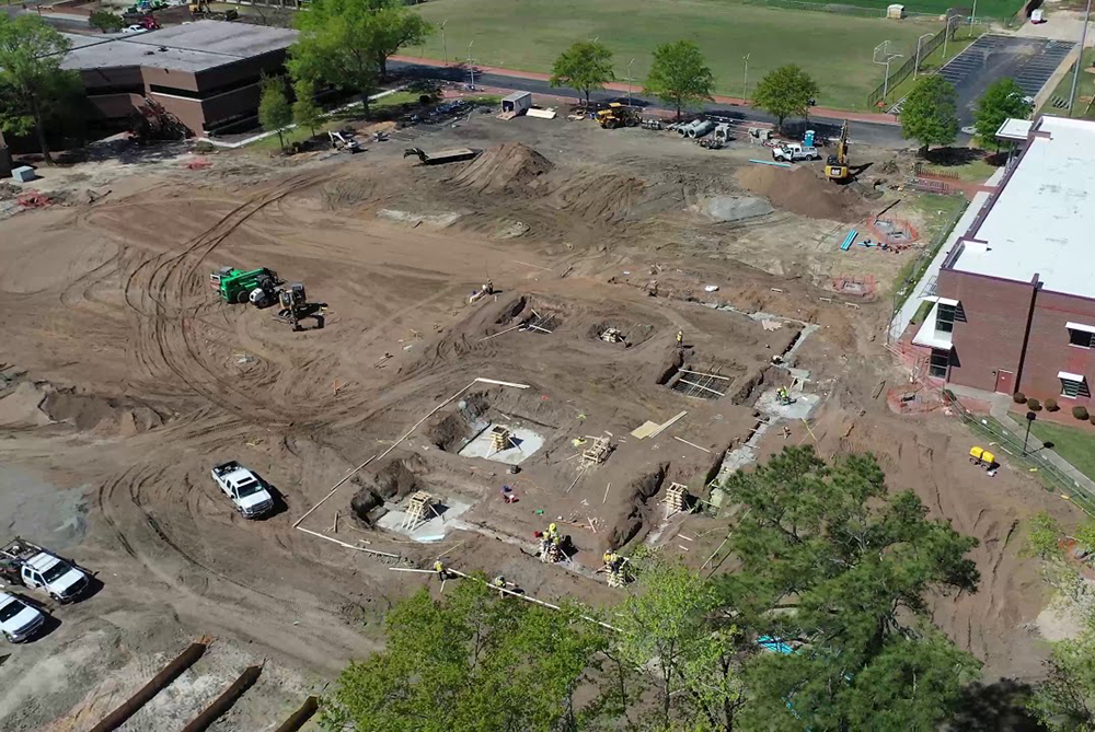
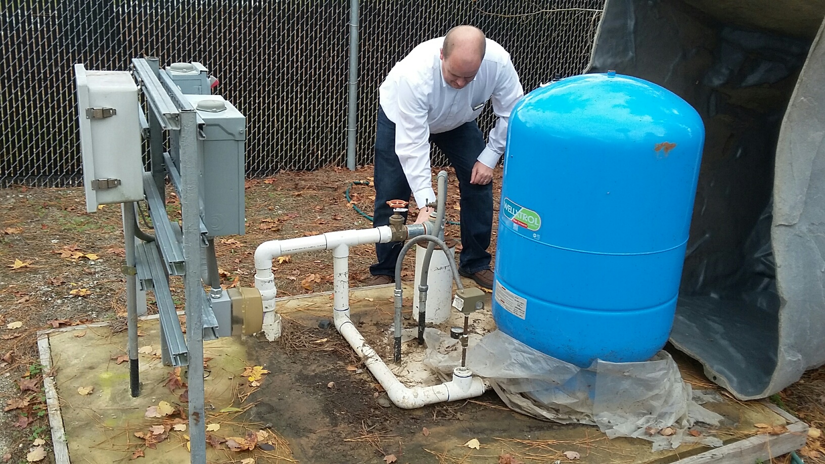
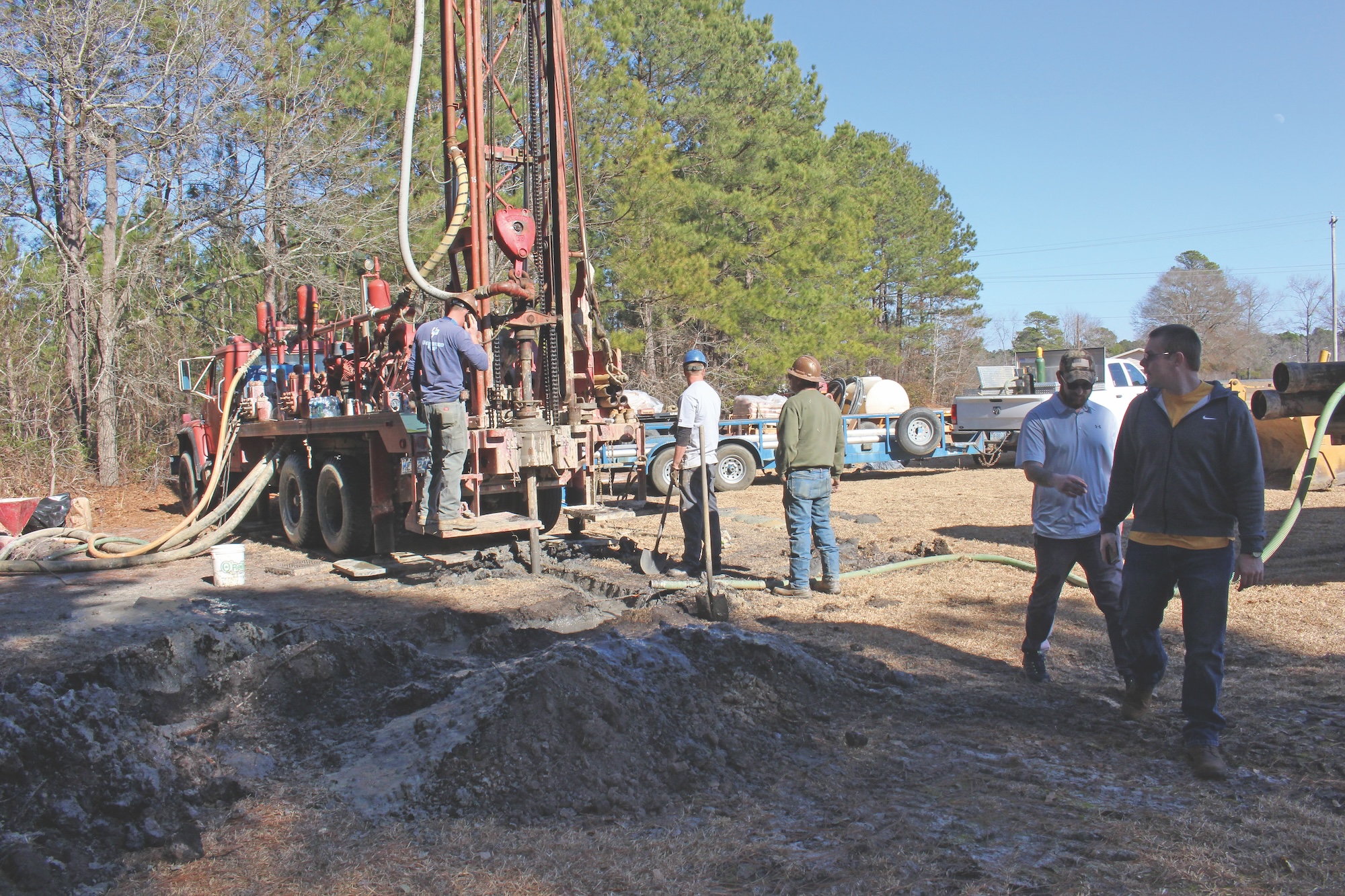
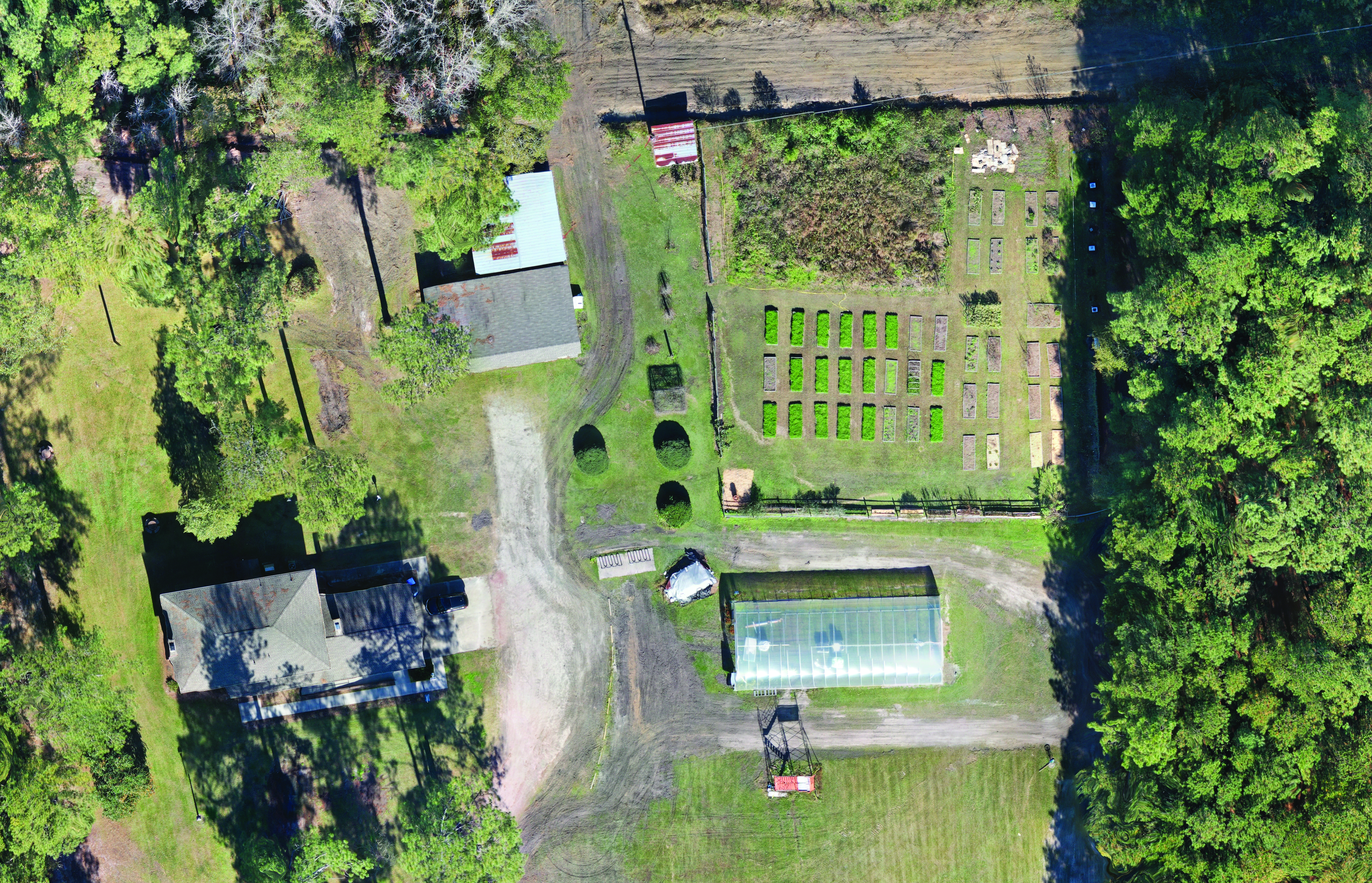
Faculty and students in UNCP’s Department of Geology and Geography collaborate in meaningful research that connects classroom learning with real-world applications. One standout initiative is the Robeson County Groundwater Monitoring Project — a collaborative effort with the Robeson County Water Department, local well drillers, and other partners to monitor and protect our region’s groundwater resources.
This project has become a powerful catalyst for student success and program growth. Through faculty mentorship and hands-on experience, students help build and maintain a monitoring well network across campus and throughout the county. As paid interns, they are trained to collect and analyze water levels and usage data, manage a public-facing online geodatabase and digitize historical well records, geophysical logs and other key environmental data.
The impact is twofold: students gain valuable skills and professional development opportunities, and our local communities benefit from accessible, up-to-date water resource data. The project has also played a key role in identifying long-term groundwater trends — helping water managers make informed decisions and avoid future usage restrictions.
At UNCP, we don’t just study the environment — we help protect it.
Department Resources
Geology & Geography has invested in advanced lab and field equipment to support both
learning and research, fostering a collaborative environment where students work side
by side with expert faculty mentors.
Geoscience
Undergraduate students at UNCP have access to advanced resources and small class sizes
enable students greater acces not only to the equipment but also faculty expertise
and collaboration.
- Gigapan Epic 100, a robotic camera mount that automatically captures and stitches hundreds of overlapping photos into single, incredibly detailed gigapixel panoramic images.
- Access to nearby electron microprobe and SEM facility: SENCR-MIC, offering state-of-the-art microanalytical and imaging capabilities
- Research-grade petrographic microscope and student petrographic scopes
- Virtual 3D aquifer model
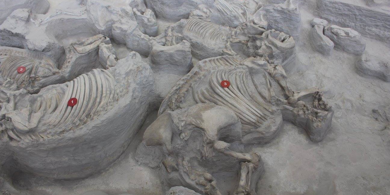
- A large collection of minerals, rocks, fossils and 3D models
- Impregnation equipment for rock samples
- Rock saw and sieve shaker
- GPR - MALÅ XV Monitor, a dedicated data acquisition platform and user interface specifically designed for Ground Penetrating Radar (GPR) systems
- Photometer YSI 9500, a portable, direct-reading instrument used for rapid and accurate measurement of various chemical parameters in water quality analysis through colorimetric principles.
- Multiprobes YSI ProDSS, a handheld multiparameter designed for comprehensive water quality measurement and monitoring across a wide range of environmental applications.
Cartography Lab
Discover a versatile environment designed for creating advanced maps, modeling real-world
landscapes, and exploring the vast potential of geospatial data.
- Desktops and workstations
- Geospatial and geoscience-specific software
- Esri ArcGIS Suite, a comprehensive, industry-standard software platform used for creating, managing, analyzing, and visualizing geographic information and maps.
- RockWorks, a powerful tool for visualizing, modeling, and analyzing subsurface geological data, from borehole logs to 3D geological models.
- Agisoft Metashape, a professional photogrammetry software that generates 3D spatial data from digital images, creating models, orthomosaics, and Digital Elevation Models (DEMs).
- Adobe Creative Suite
- others
- Vaquform DT2 Professional Desktop Thermoformer, a compact, high-performance machine that uses heat and vacuum to quickly create custom plastic parts and molds from sheets of thermoplastic.
- Large-format printer
- Lulzbot 3D Printer
Drones (sUAS)
Geology & Geography, employs small Unmanned Aerial Systems used for a variety of field work.
Please contact the department if you have questions regarding sUAS classes under the
campus use policy if you are considering flying a sUAS on campus for any reason.
Geoscience
Undergraduate students at UNCP have access to advanced resources and small class sizes
enable students greater acces not only to the equipment but also faculty expertise
and collaboration.
- Gigapan Epic 100, a robotic camera mount that automatically captures and stitches hundreds of overlapping photos into single, incredibly detailed gigapixel panoramic images.
- Access to nearby electron microprobe and SEM facility: SENCR-MIC, offering state-of-the-art microanalytical and imaging capabilities
- Research-grade petrographic microscope and student petrographic scopes
- Virtual 3D aquifer model
- A large collection of minerals, rocks, fossils and 3D models
- Impregnation equipment for rock samples
- Rock saw and sieve shaker
- GPR - MALÅ XV Monitor, a dedicated data acquisition platform and user interface specifically designed for Ground Penetrating Radar (GPR) systems
- Photometer YSI 9500, a portable, direct-reading instrument used for rapid and accurate measurement of various chemical parameters in water quality analysis through colorimetric principles.
- Multiprobes YSI ProDSS, a handheld multiparameter designed for comprehensive water quality measurement and monitoring across a wide range of environmental applications.
Cartography Lab
Discover a versatile environment designed for creating advanced maps, modeling real-world
landscapes, and exploring the vast potential of geospatial data.
- Desktops and workstations
- Geospatial and geoscience-specific software
- Esri ArcGIS Suite, a comprehensive, industry-standard software platform used for creating, managing, analyzing, and visualizing geographic information and maps.
- RockWorks, a powerful tool for visualizing, modeling, and analyzing subsurface geological data, from borehole logs to 3D geological models.
- Agisoft Metashape, a professional photogrammetry software that generates 3D spatial data from digital images, creating models, orthomosaics, and Digital Elevation Models (DEMs).
- Adobe Creative Suite
- others
- Vaquform DT2 Professional Desktop Thermoformer, a compact, high-performance machine that uses heat and vacuum to quickly create custom plastic parts and molds from sheets of thermoplastic.
- Large-format printer
- Lulzbot 3D Printer
Drones (sUAS)
Geology & Geography, employs small Unmanned Aerial Systems used for a variety of field work.
Please contact the department if you have questions regarding sUAS classes under the
campus use policy if you are considering flying a sUAS on campus for any reason.
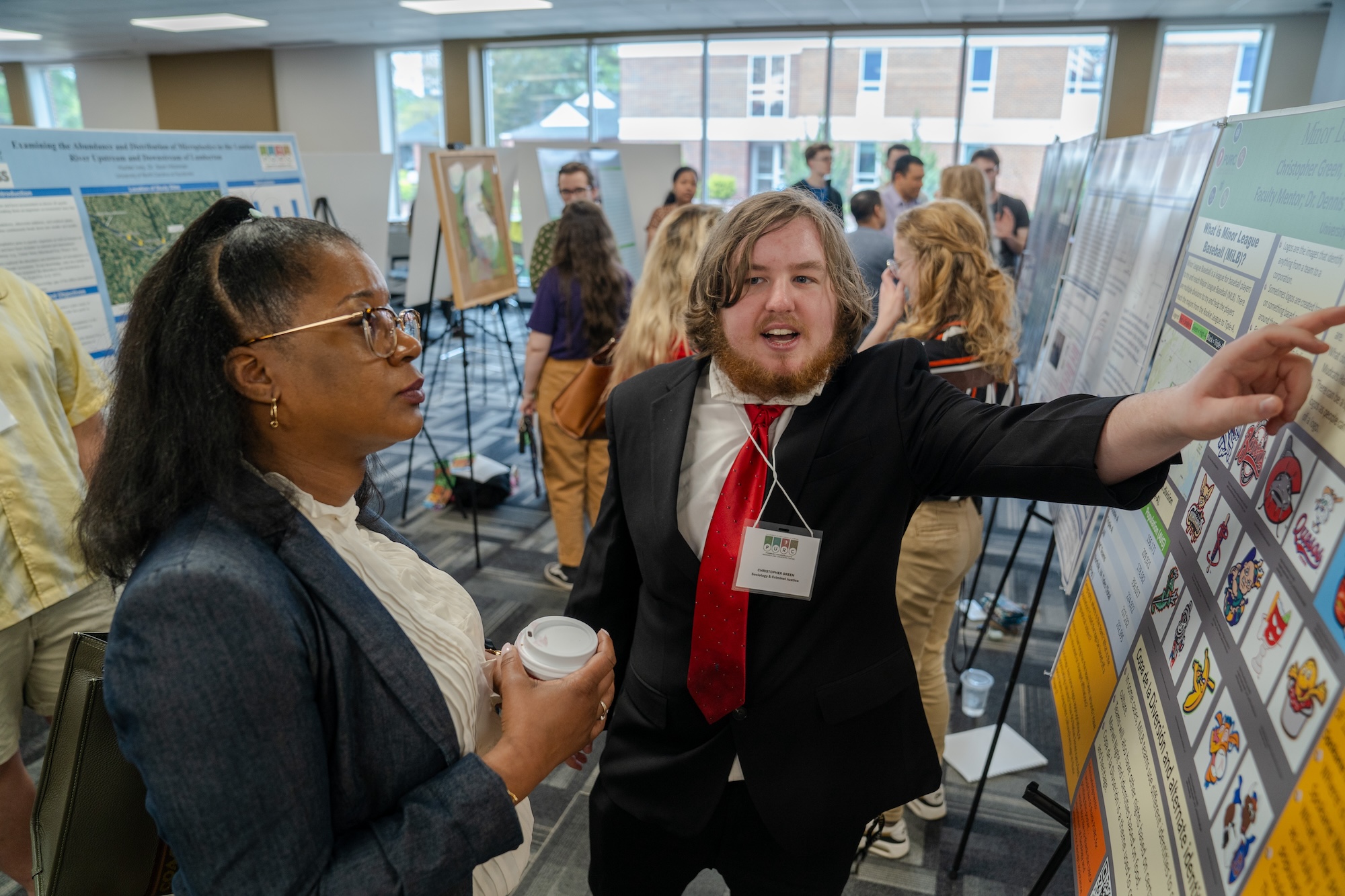
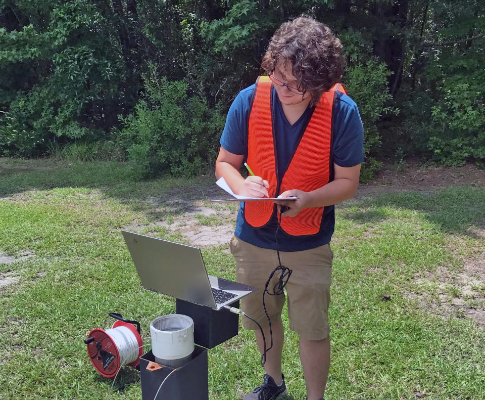
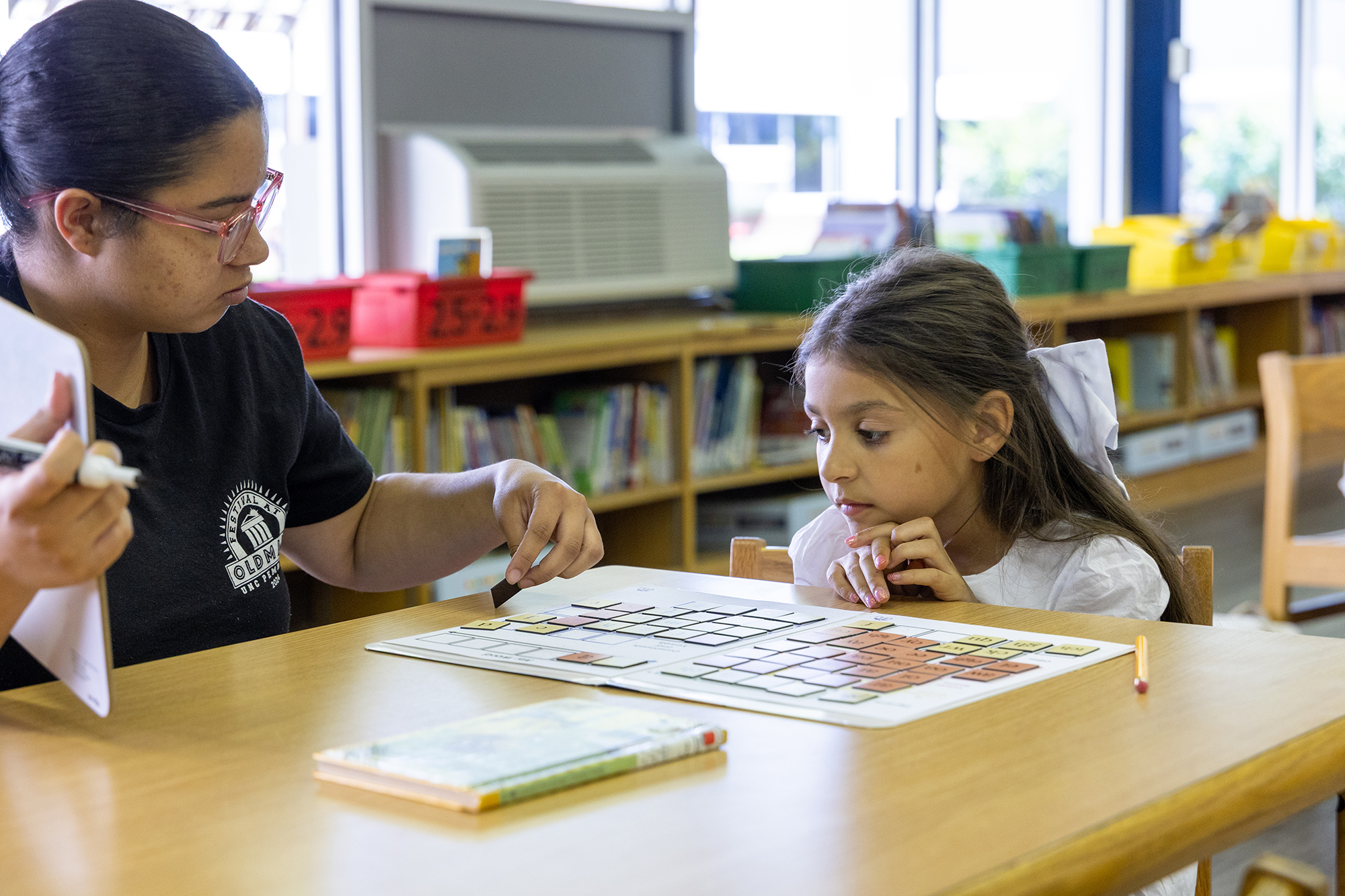
Students in Action
Our students put their knowledge into action through hands-on fieldwork, collaborative
research, academic conferences and campus-wide presentations — gaining valuable experience
every step of the way.
View Photos
- Field Trips
- Faculty-Led Projects
- Conferences
- Intercollegiate Activities
- PURC Symposium Presentations
Department Chair


Connect With Us
Oxendine Science Building, Room 1300
PO Box 1510
Pembroke, NC 28372
Phone: 910.775.4024
Fax: 910.522.5795
geo@uncp.edu
Latest News

GPAC Announces 2026-2027 season
Givens Performing Arts Center welcomes legendary artists and world-class productions to the stage for its 2026-27 season, promising music, dance, culture and family entertainment.
Strike at the Wind! Returns for Landmark 50th Anniversary Season
Fifty years after audiences first gathered beneath the summer sky to watch Henry Berry Lowrie's story unfold, Strike at the Wind! returns this summer for a landmark anniversary season that celebrates the enduring legacy of the Lumbee people, the tribe's recent federal recognition and UNC Pembroke's decades-long role in preserving one of North Carolina's most significant works of Indigenous theater.
Jul 1
UNCP Earns National Recognition for Preparing Future Elementary Teachers in the Science of Reading
UNC Pembroke's Bachelor of Science in Elementary Education program has received an A+ from the National Council on Teacher Quality (NCTQ), the organization's highest rating for preparing future elementary teachers to deliver evidence-based reading instruction grounded in the science of reading.